River Bottom Recovery: Finding a Downed Deer in Missouri Floodplain Timber
How to help a thermal drone pilot find a downed deer in Missouri river-bottom timber, sloughs, and flood ground after the shot.
55 independent, FAA-certified drone pilots with thermal cameras, spread across the state. Find the pin closest to where your deer went down, call the number, and get your animal back before the coyotes do.
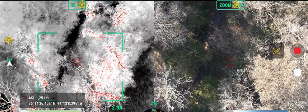
A thermal camera sees body heat through brush, timber and darkness. A drone puts that camera three hundred feet up. Together they cover in minutes what a grid search covers in hours.
Drop a pin on your phone where you shot from, where the deer was standing, and the last blood you found. Note the time. Then stop walking: every step pushes a wounded deer farther and tramples the trail.
Open the map, find the pilot nearest you and call. Tell them the county, the shot placement, how long it has been, and whether you have landowner permission for the surrounding ground. Each pilot sets their own rates and hours.
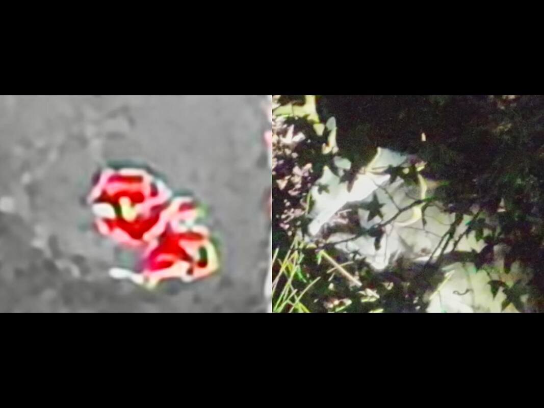
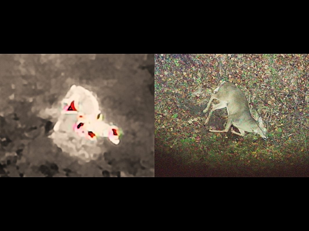
The pilot launches, sweeps the area with thermal, and walks you to the animal or tells you it is still moving and where. Most recoveries happen after dark, when a warm body stands out against cold ground.
Every gold pin is a pilot who has asked to be on this list. Click one for a name and a phone number. The full, searchable list is on the pilots page.
A drone at altitude scans a forty-acre block in a few passes. A wounded deer bedded in a cedar thicket that a grid search would never reach shows up as a bright shape on the screen.
Tracking dogs and search parties bump other deer, spook the one you hit, and trample the sign. A drone flies over the top of all of it and leaves the woods exactly as they were.
Every pilot on this map holds an FAA Part 107 certificate and flies within Missouri’s rules: locating downed game only, never spotting or driving live animals for a hunt.
Recoveries by pilots on the network, with the pilot who led each one, are in the gallery of recoveries.
The network is free to join. You need a current Part 107 certificate, a drone with a thermal camera, and a phone you answer in deer season. Apply here or ask in the Facebook group. Hunters: follow the Facebook page for recoveries and season news.
How to help a thermal drone pilot find a downed deer in Missouri river-bottom timber, sloughs, and flood ground after the shot.
How North Missouri crop fields, CRP, draws, and creek bottoms shape a downed deer search, and how a thermal drone pilot can help you recover it.
Missouri's November firearms portion means more shots and more lost trails. Here's how to recover a downed deer with help from a thermal drone pilot.